Valgrisenche
foto-loaded-by-carolina daneu
foto-loaded-by-carolina daneu
foto:
EXIF Date created:
Monday, 11 September, 2017 - 10:59
foto-loaded-by-carolina daneu
foto:
EXIF Date created:
Monday, 11 September, 2017 - 10:59
foto-loaded-by-carolina daneu
foto:
EXIF Date created:
Monday, 11 September, 2017 - 10:59
foto-loaded-by-veronica paolo
foto-loaded-by-veronica paolo
foto-loaded-by-veronica paolo
foto:
EXIF Date created:
Tuesday, 13 September, 2016 - 20:30
Valgrisenche - Rhêmes-Notre-Dame
km 17,2 km prog 67,2 D+ 1485 m D- 1566 m
English
Tavola:
1
Settore:
2
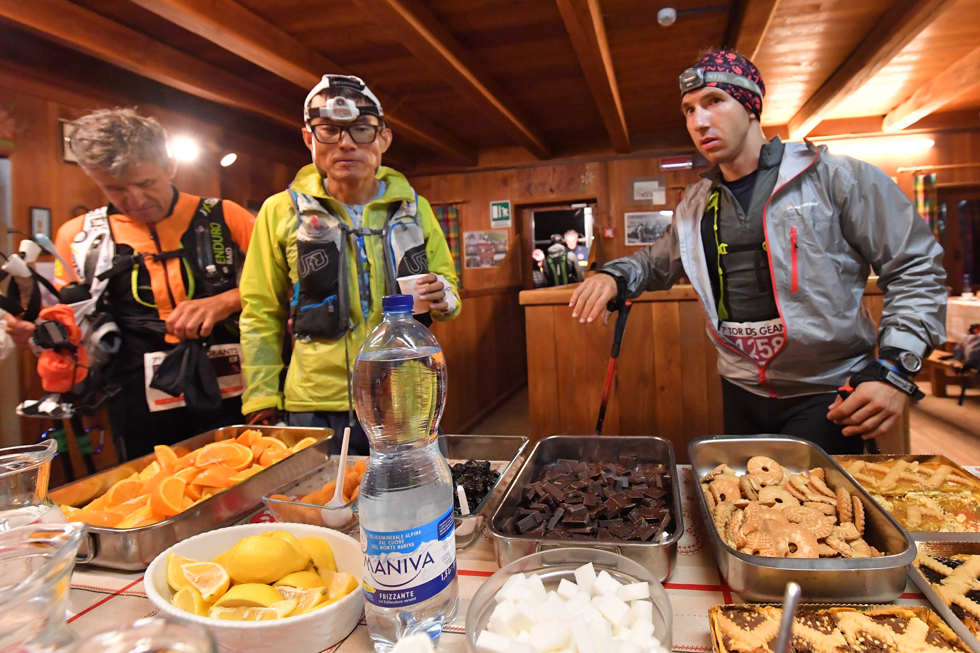
Leaving the Valgrisenche base life, follow the road to the Mondanges resort, where the trail leads to the Chalet de l'Epée hut (2377 m). Refreshment and control point. From the hut, follow the signs for Alta Via 2 and 9B towards Col Fenêtre de Torrent (2840 m), a simple and not very steep ascent.
Colle Crosatie - Valgrisenche
km 13,8 km progr. 50,0 D+ 607 m D- 1639 m
English
Tavola:
5
Settore:
1
From the hill you go down to the right along the diagonal halfway to the Lac du Fond and the remains of a pasture (2338 m). The trail crosses the stream and continues along the plateau up to the Bénévy farmhouses, where you enter the forest. After the path, follow the road to La Clusaz and then Planaval (1554 m). Refreshment and control point. Follow the asphalt road up to the village of Revers, then the dirt road that leads to Prariond, where the path to La Frassy leaves. From here, on the asphalt road, you reach the village of Gerbelle.


