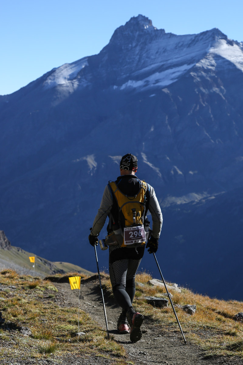
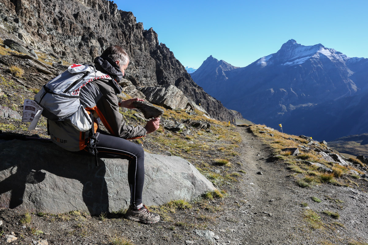
Col Entrelor
img_8375.jpg
tdg2013-vallone_entrelor_foto_enrico_romanzi-8187.jpg
tdg2013-vallone_entrelor_foto_enrico_romanzi-8159.jpg
tdg2012-entrelor_rhemes_nd_foto_enrico_romanzi-0246.jpg
foto:
IPTC keywords:
EXIF Date created:
Monday, 15 September, 2014 - 12:29
tdg2012-entrelor_rhemes_nd_foto_enrico_romanzi-0240.jpg
foto:

IPTC keywords:
EXIF Date created:
Monday, 15 September, 2014 - 12:32
foto-loaded-by-amministratore
foto:
IPTC keywords:
EXIF Date created:
Monday, 15 September, 2014 - 12:05
tdg2012-entrelor_rhemes_nd_foto_enrico_romanzi-0138.jpg
foto:
IPTC keywords:
EXIF Date created:
Monday, 15 September, 2014 - 12:04
Rhêmes-Notre-Dame - Eaux Rousses
km 15,8 km progr. 82,9 D+ 1529 m D- 1568 m
English
Tavola:
2
Settore:
2
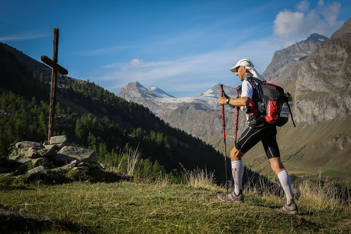
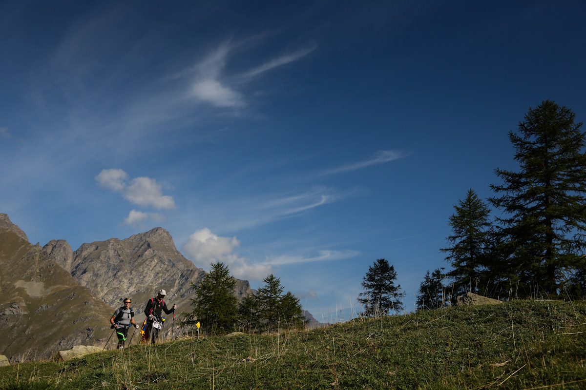
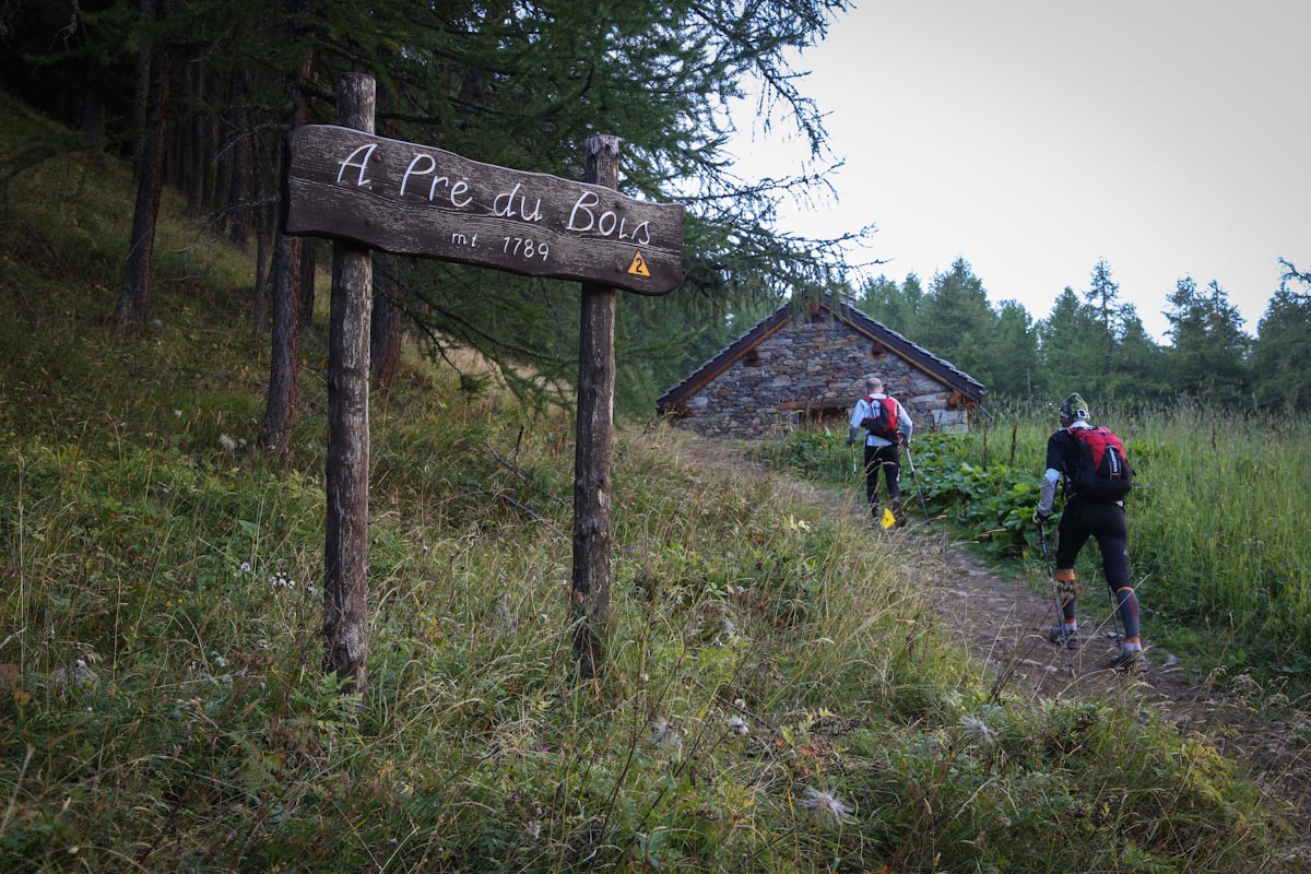
From the square of the Town Hall, take the path marked Entrelor, which leads to the Pré du Bois mountain pasture (path 10) and continues along the stream to a wooden cross (2097 m) and then continue up to Colle Entrelor (3007 m) ).
From the hill the path descends to the left until Lac Noir and just below Lac Djouan (2516 m). Continue to the Djouan pasture (2232 m) and then to the hunting lodge of King Vittorio Emanuele II of Orvieilles (2165 m). Then continue along the path 8C which on the right leads to Eaux Rousses (1666 m). Refreshment and control point.