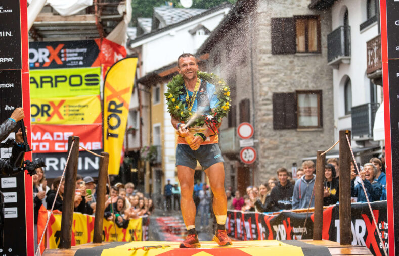
The Adamello Ultra Trail joins the TORX experience
Another prestigious race becomes part of the TORX®️ eXperience: welcome the Adamello Ultra Trail, a fascinating route of 170 kilometers and 11,500 meters of altitude difference between the Adamello and Stelvio parks, between Lombardy and Trentino.
The Adamello Ultra Trail takes place from 26 to 28 September 2025 and offers 15 PAX, for the AT100 and AUT170 finishers, to the TOR330 - Tor des Géants®️ 2026.
Nestled in the breathtaking scenery of the Pontedilegno-Tonale area, between the Alta Val Camonica and Alta Val di Sole, the Adamello Ultra Trail route traverses the Adamello Natural Park and the Stelvio National Park, connecting two regions (Lombardy and Trentino), two provinces (Brescia and Trento), and eight municipalities (Vezza d’Oglio, Vione, Temù, Ponte di Legno, Edolo, Monno, and Incudine in Lombardy, and Vermiglio in Trentino).
The event
The Adamello Ultra Trail project came to life in 2014, picking up the legacy of the Red Rock SkyMarathon, and 2024 will mark its tenth edition (the 2020 edition was canceled due to extreme weather conditions).
The unique feature that makes the Adamello Ultra Trail a one-of-a-kind race in the international trail running landscape is the nature of the trails and roads along which its long and short routes wind: paths that were used during the First World War (1915-1918), the so-called ‘White War’ or ‘Alpine War’, during which the troops of the Kingdom of Italy faced off against those of the Austro-Hungarian Empire.
In 2024 over 900 participants joined the event from 16 countries. The Adamello Ultra Trail has all the organizational and medical solutions (including GPS, medical personnel, alpine service, rescue service) to allow athletes to run in total comfort and safety.
Additionally, the strong base of volunteers, ranging every year between 250 and 300 units, contributes to providing the best possible support at the over 20 refreshment points along the race course.
Are you a race organizer?
Our minimum technical requirements are:

© copyright 2009-2025 by VDA Trailers SSDrl
Any dissemination for commercial purposes of photographic or video images captured during the event, via any means (internet, social networks, TV, press, magazines, etc.), without written authorisation from the organisation is prohibited.
TORX®, TOR®, Tor des Géants®, Tor des Glaciers ™, Passage au Malatrà ™, Tot Dret ™, TOR450 ™, TOR330 ™, TOR130 ™, TOR100 ™ and TOR30 ™ are trademarks owned or used exclusively by VDA Trailers. Any communication of the event or use of images of it must be done in observance of the name of the event and registered trademarks, subject to agreement by the organisation.
Valle d'Aosta Trailers SSDrl | Via Roma, 98 | 11013 Courmayeur | CF/P.IVA 01139360075 | Nr. Iscr. Reg. Imprese AOSTA AO-70629


